Underwater Research in the Submerged Roman Harbour of Puteoli
PROJECT TO DOCUMENT THE SUBMERGED ROMAN HARBOUR OF PUTEOLI
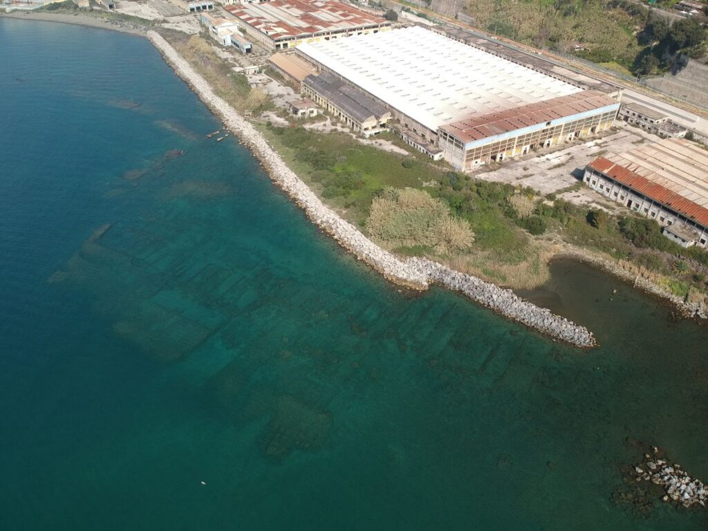
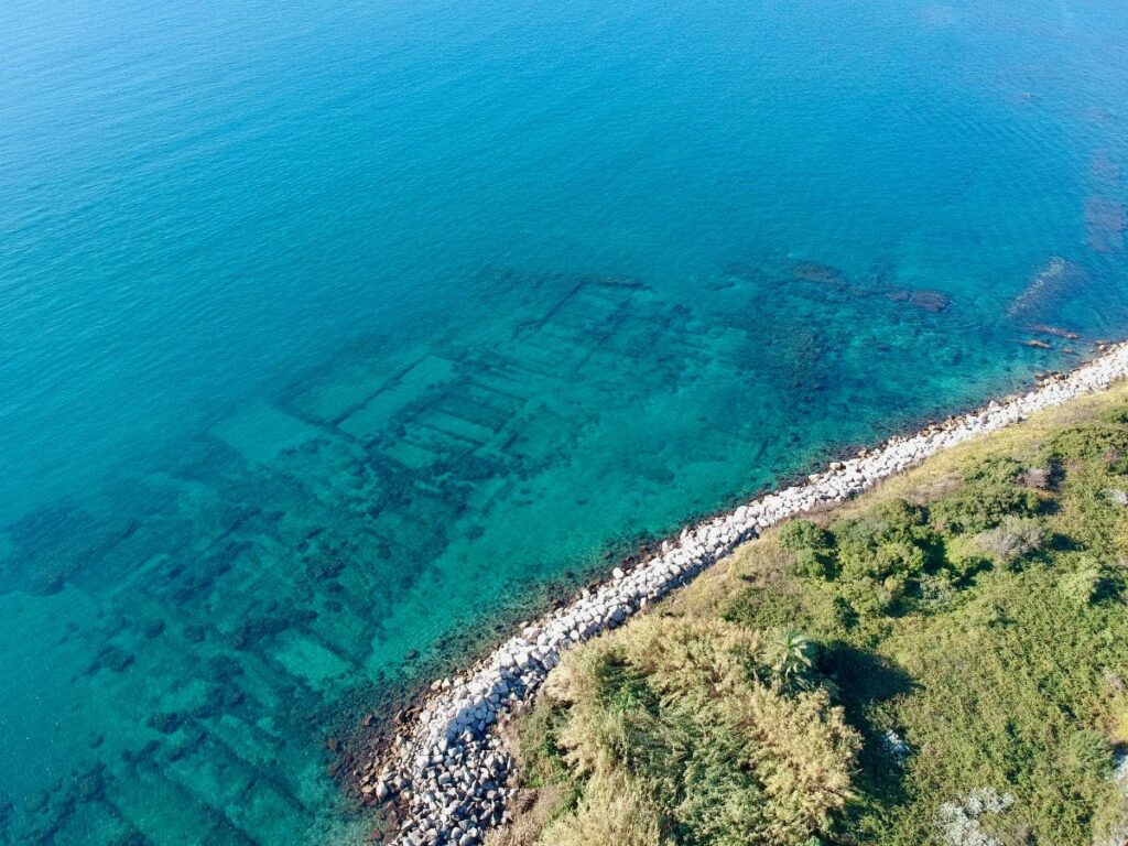
On a coastline of almost 2 km, in the Western part of the Gulf of Naples, Italy, the submerged districts of the ripa Puteolana constitute an underwater archaeological area of extraordinary importance, gravitating around the headquarters of merchants and pilgrims from every corner of the Mediterranean. For a long time, this context was only scarcely explored, due to the presence of modern industries. Now, in a post-industrial phase, the great challenges of the regeneration and reconversion of this complex waterfront begun.
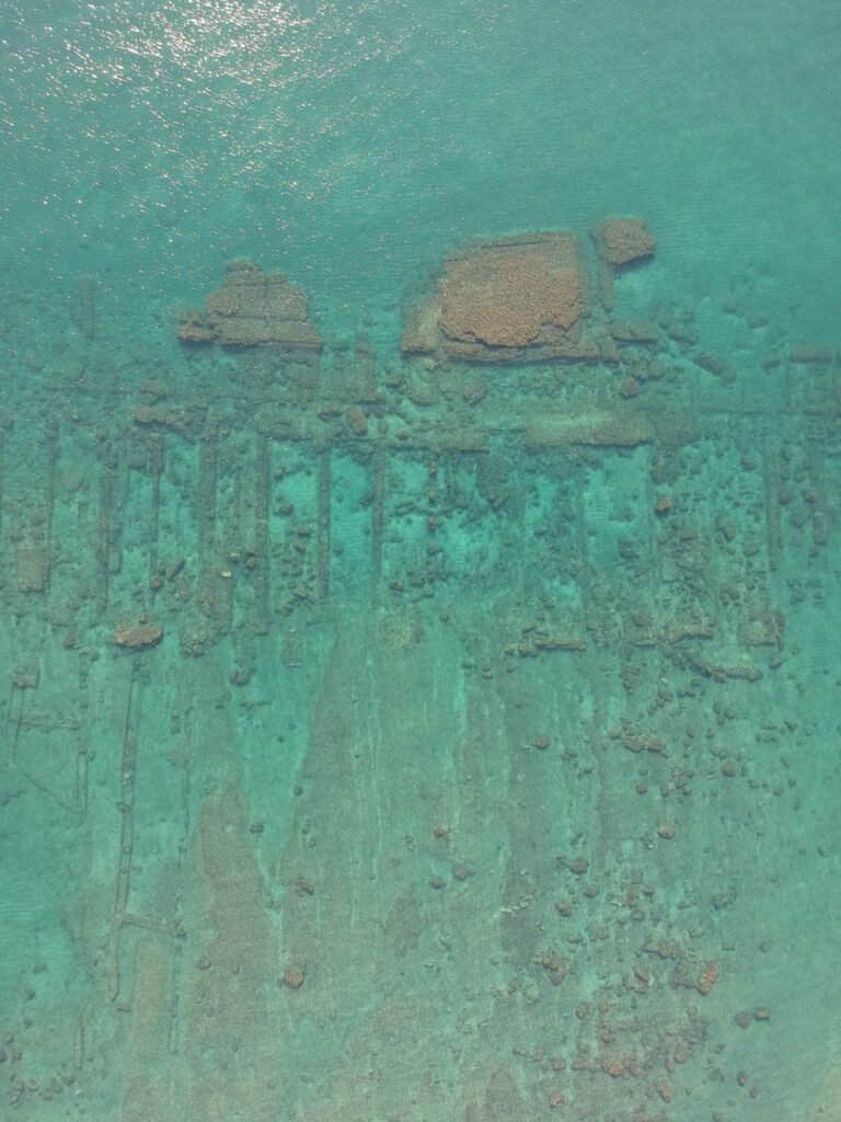
With the project Between land and sea (2021-2027, based on an agreement between the Italian Ministry of Culture and the University of Campania, with the collaboration, for the submerged areas, of the Scuola Superiore Meridionale) a systematic documentation program of the ripa Puteolana has finally been launched; in three years a first high resolution image of all the submerged was realized.
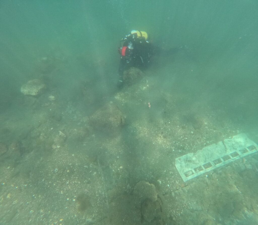
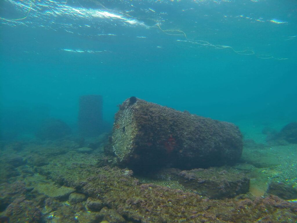
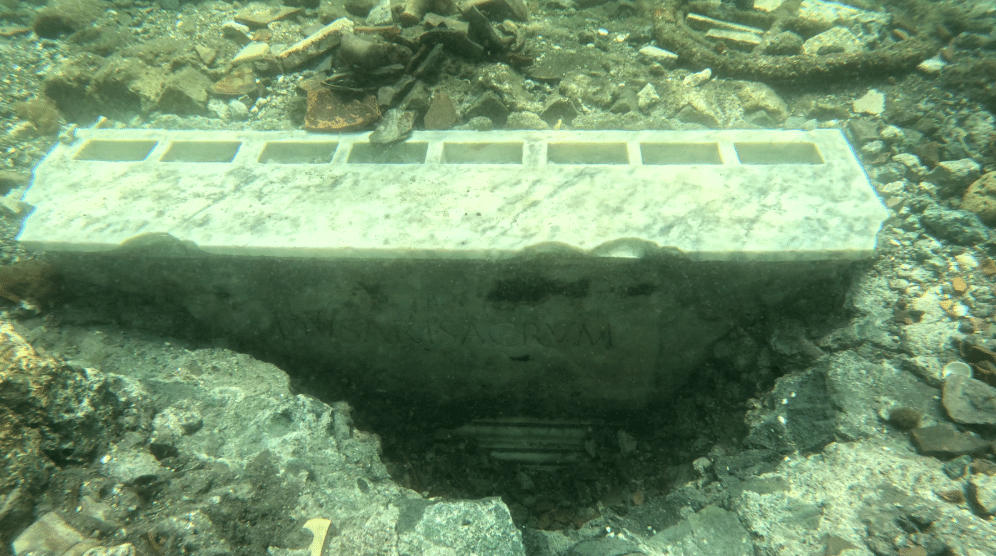
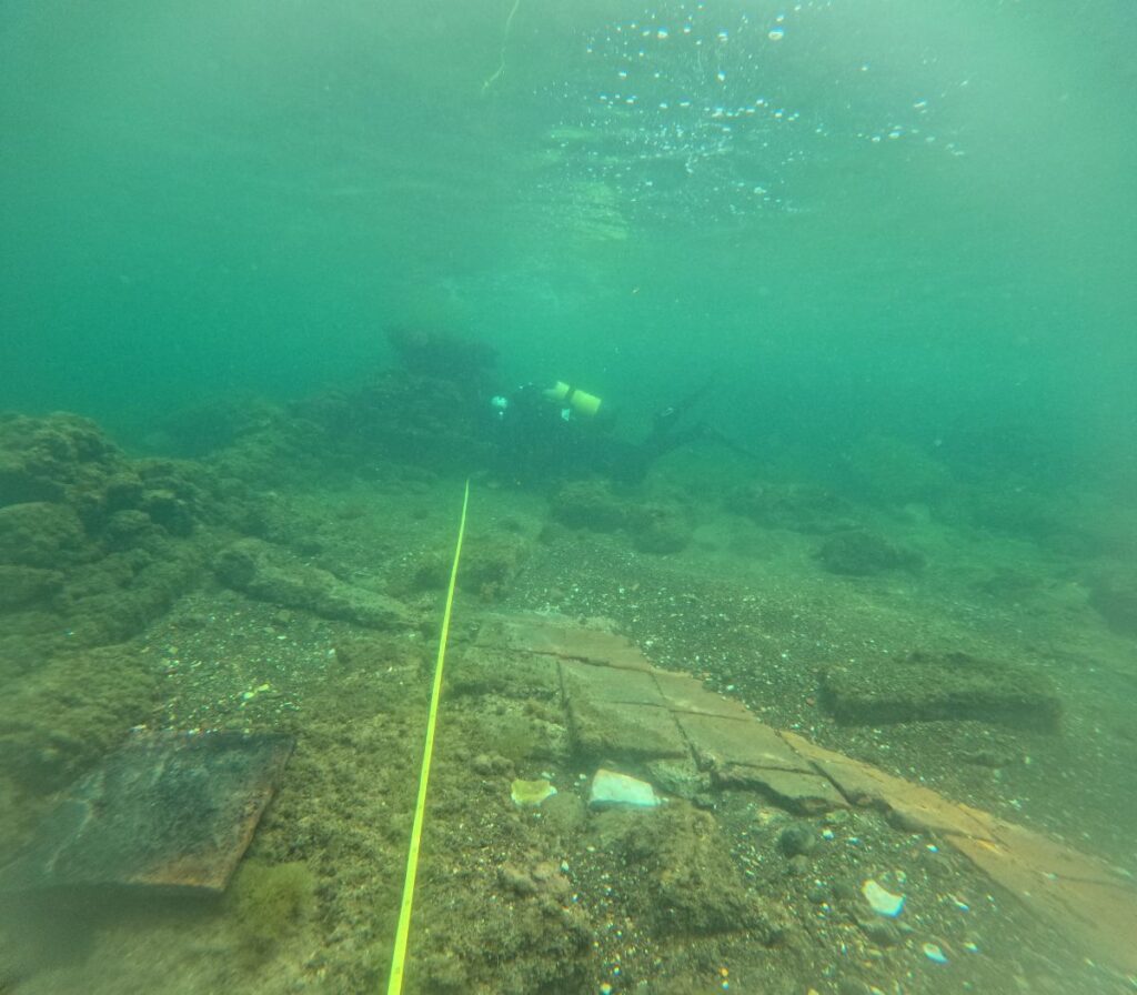
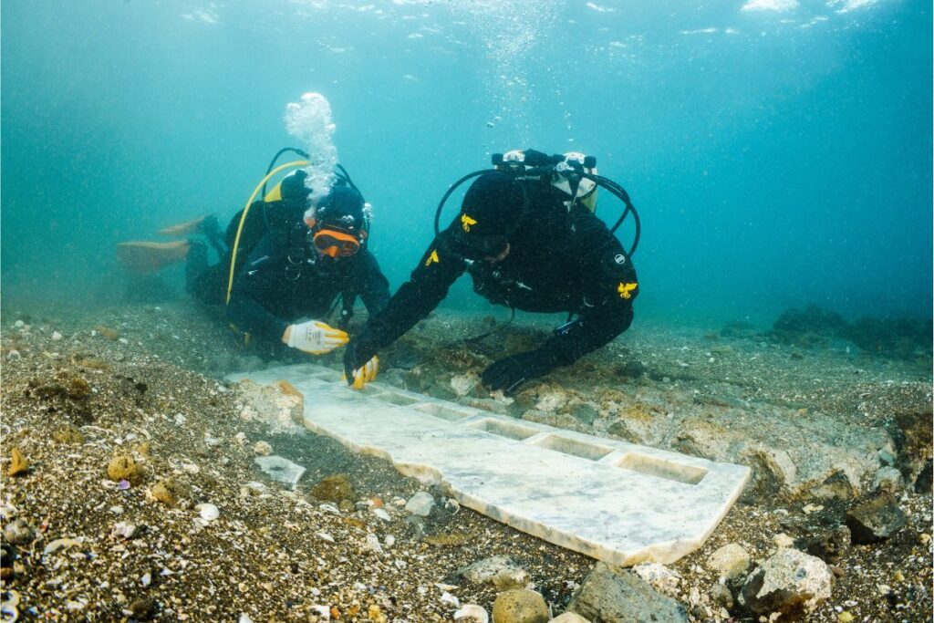
Underwater exploration with ROV and direct surveys offered precise measurements, high resolution images and amazing results: in the vicus Lartidianus, the portico delle Ninfe, an officina marmoraria and a plumbaria have been relocated together with a long series of horrea, storage rooms; the greatest result was the re-location of the lost Temple of the Nabateans, an amazing discovery of the last century, almost totally forgotten. In the nearby vicus Annianus, huge storage rooms have been identified as the enormous granaries for the food destined to Rome.
76000
In the following months, a more accurate documentation of the site of the Temple of the Nabateans, to plan in the near future an excavation, and a detailed documentation of the granaries in the vicus Annianus, to understand the functioning of a strategic-logistic hub, and the management of huge quantities of supplies, will be the main scopes of the Project.
The activities will include:
- new aerial survey to update the images
- direct surveys underwater, with uw photogrammetry of the actual appearance of the Nabatean temple and of the submerged granaries of the vicus Annianus.
- image-processing through Agisoft Metashape.
- lab work for the first 3d reconstruction of one of the granaries.
- Implementation of the GIS.
The scientific impact of the project is amazing: in 2021-2024, 9 papers, 2 books, 21 conferences in 9 countries have been produced. New activities will easily produce new data and historical/archaeological interpretations, worth of publication.
The Ripa Puteolana is not only an exceptional research environment, offering archaeological and historical answers impossible to find in any other place; it is a crucial challenge for the regeneration of a coast heavily damaged by a long industrial activity, and a unique possibility to give to the society a green, renewable, clean alternative for the development of an area facing a long crisis. Only the scientific knowledge could offer to the decision-makers the tools for a correct regeneration of the territory involving local communities in the protection of the common heritage. In a near future, Puteoli sommersa will be a site where people will dive, will swim and will explore context unique in the world.
Principal Investigators / Collaborators
Principal Investigator:
Michele Stefanile
Co-directors of the activities:
Michele Giovanni Silani
Maria Luisa Tardugno


