
Drone imaging and AI are transforming how we document and protect Rome’s legacy in Jordan
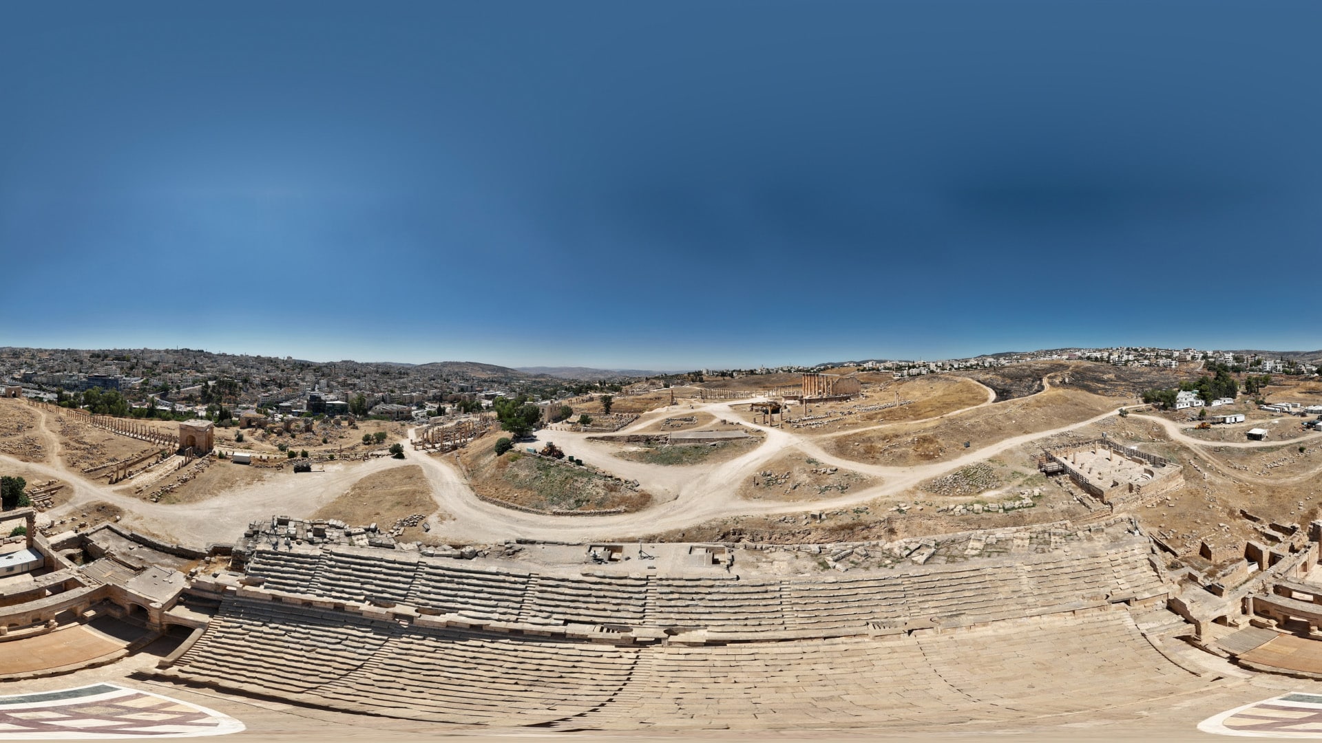
Just after sunrise, before the heat settles over the ancient stones, the drones go up. From the air, the true scale of what Rome built in Jordan becomes visible in a way it never quite does from the ground. Colonnaded streets stretch in perfect geometric order. Theater semicircles emerge from the dust. Water systems trace their way across the landscape with an engineer’s precision. Seen from above, the genius of Roman urban planning is not just apparent, it is overwhelming.
This is what the team behind the ECL Grant project, led by the Petra National Trust and Sager Drones, sees every morning when they go to work. And what they are capturing, in extraordinary detail, may be the most important digital archive of Roman heritage ever assembled outside of Europe.

A Roman World Most People Don’t Know Exists
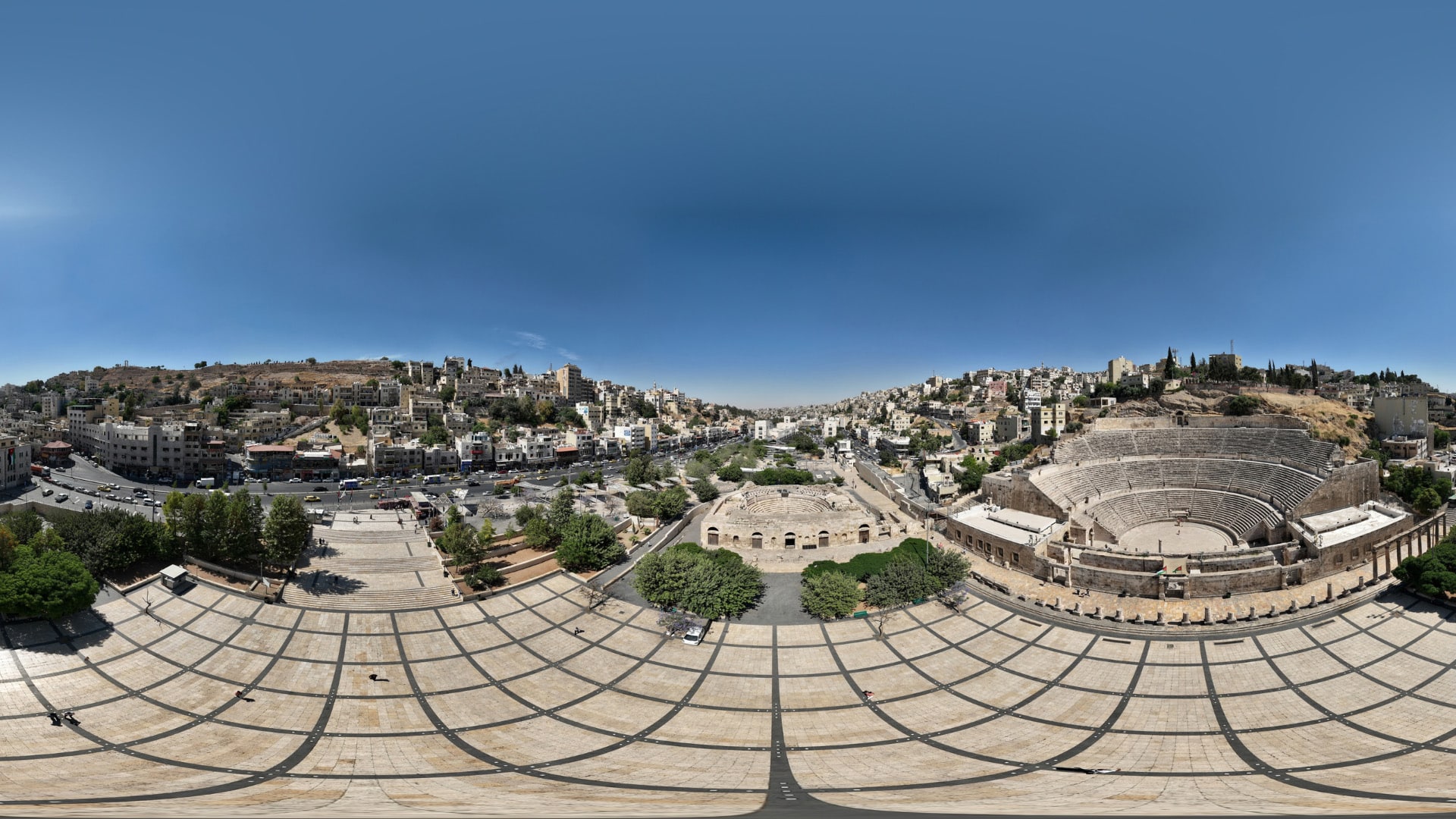
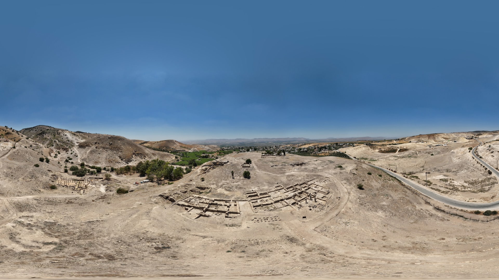
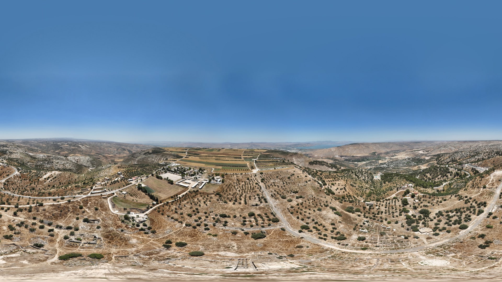
Jordan is not the first place most people think of when they think of ancient Rome. It should be. At Jerash (ancient Gerasa), one of the best-preserved Roman provincial cities in the world, colonnaded streets still stretch across the landscape, the ruts of ancient wagon wheels still visible in the stone. At Umm Qais (ancient Gadara), ruins command a view across the Sea of Galilee and the Golan Heights that hasn’t changed in two thousand years. At Pella, layers of human occupation go back twelve thousand years. And in the heart of modern Amman, a Roman theater that once seated six thousand people still hosts performances today.
“Standing among Jordan’s Roman sites, you can begin to imagine the cities that once stood there,” says Dareen Al-Khoury, Executive Director of the Petra National Trust. “You see grand streets, theaters, temples, baths, bridges, roads, water systems, and homes – all part of communities that were once full of life. The scale and sophistication of what survives can be remarkable.”
For ARL Director Darius Arya, the sites speak for themselves. “People might know Jerash. But the other sites underline the rich, vast history that goes beyond UNESCO lists. It’s overwhelming how extensive these other cities are.”

A Race Against Time
These extraordinary sites are under pressure. Climate change, flooding, erosion, and the encroachment of urbanization are taking a quiet but accelerating toll with the kind of gradual deterioration that is easy to miss until the damage becomes irreversible.
“One of the most urgent challenges is protecting these sites from environmental degradation and the growing effects of climate change,” Al-Khoury explains. “Some changes may happen slowly and be difficult to detect until they become more serious. Without detailed documentation and an understanding of environmental risks, it is harder to plan effective conservation measures.”
That urgency is precisely what the project is designed to address. Using state-of-the-art drone imaging, AI-driven photogrammetry, and hydrological studies that map exactly how water moves through each site, the team is building both a precise digital record and a climate resilience strategy that enables them to identify vulnerable areas before damage occurs.

From the Air
A typical day in the field begins just after sunrise. Drone pilots fly precise, pre-programmed grid patterns across the site, capturing thousands of high-resolution overlapping images that are later processed into seamless, highly detailed 3D digital models in what the team calls a “digital twin” of the ancient city.
The results have been revelatory. “When you walk through these Roman sites on foot, they are magnificent but can feel fragmented,” Al-Khoury says. “However, when we first stitched the aerial data together into a complete 3D model, the true genius of Roman urban planning became instantly visible. Seeing the sites from a macro level revealed how masterfully the ancient architects integrated their streets, temples, and water catchment systems with the natural topography.”
The work is not without its complications. Sudden wind gusts funneling through ancient columns, unexpected rain, and GPS jamming related to the broader situation in the Middle East have all required the team to adapt mid-flight, recapturing certain areas to ensure absolute accuracy. Processing the resulting data (which means terabytes of high-resolution imagery) demands significant computational power and highly optimized technical workflows.

Open to the World
The 3D models and environmental data will be housed in the SagerSpace digital heritage library, an open platform making findings freely available to researchers, students, heritage professionals, and the wider public. Community engagement runs through the project from the start, with local youth trained in digital heritage technologies and cultural awareness workshops designed to connect residents with the history on their doorstep.
“Long-term heritage protection cannot depend only on specialists,” Al-Khoury notes. “By sharing the digital documentation and the knowledge generated through the project, we hope to make the heritage more accessible and encourage local participation in its preservation.”
For Arya, the Jordan project represents something larger about where archaeology needs to go. “New data brings new observations and insights,” he says. “And that’s exactly what this kind of technology makes possible.”
Rome’s reach extended far beyond Italy. This project is making sure its legacy in Jordan survives long enough to be studied, understood, and shared by anyone, anywhere, for free.
The Greco-Roman Documentation and Preservation in Jordan project is an ECL Grant recipient, funded by Ancient Rome Live. Learn more here.